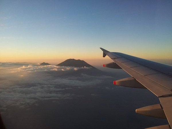
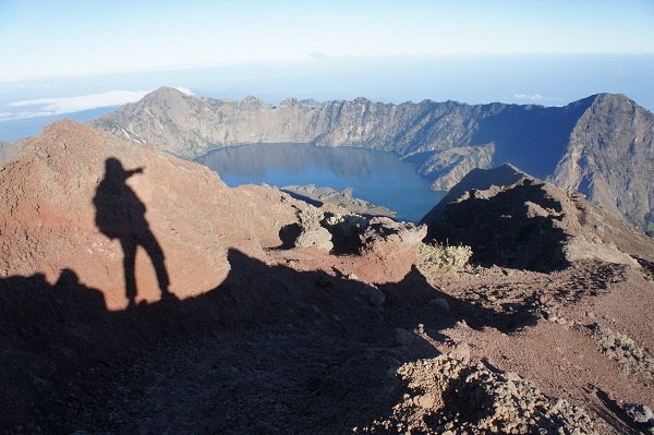
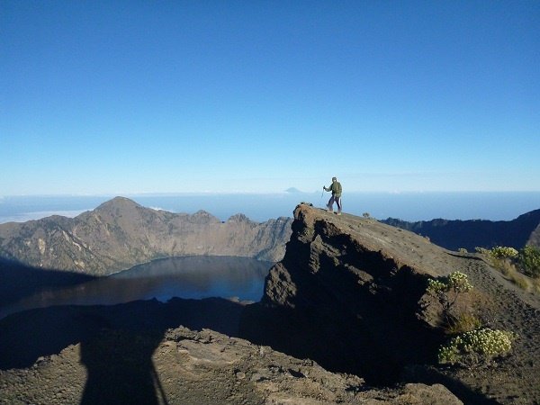
Mount Rinjani is an active volcano on the island of Lombok in West Nusa Tenggara province, Indonesia. At 3,726 metres, it is the second-highest mountain in Indonesia, excluding West Papua. At the top of the volcano is a crater lake called Segara Anak (Child of the Sea). At the eastern edge of the lake is a smaller volcanic cone (post-caldera cone) called Gunung Barujari. The lake changes colour—steel grey, cobalt blue or green—depending on the direction of the sun’s rays falling on it.
At higher elevations, the mountain peaks, floating clouds, crater rim and lake combine to create some of the most spectacular scenery on earth. Mount Rinjani and its surrounding areas are protected within Gunung Rinjani National Park. Covering 41,330 hectares, it is slightly larger than half the size of Singapore (714 sq km). Although animal sightings, apart from monkeys, are quite rare in the park, there are a few decent hot springs and waterfalls to dip in.
There are two main routes to the top of Mount Rinjani—the Senaru Route and the Sembalun Lawang Route. Both routes are named after the villages (Senaru Village and Sembalun Village) where the trails begin. Both can lead to the crater rim, lake and summit. Trekkers can take the Senaru Route up and the Sembalun Lawang Route down, or vice versa.
Depending on your interests, physical fitness and available time, you can opt for the “summit trek”, which also covers the crater rim and lake (3–4 days); the “crater rim and lake trek” (2–3 days); or just the “crater rim trek” (2 days).
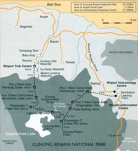
Below are some of the possible treks.
Summit Trek
- Sembalun Village → Pos 1 (Pemantauan) → Pos 2 (Tengengean) → Plawangan 2 (also known as Crater Rim 2) → Summit → Lake → Plawangan 1 (also known as Crater Rim 1) → Pos 3 (Mondokon Lola) → Pos 2 (Montong Satas) → Rinjani Trek Centre (Senaru)
- The same route in reverse, starting from the Rinjani Trek Centre in Senaru and ending at Sembalun Village. With this option, you will visit the lake, Crater Rim 1 and Crater Rim 2 before attempting the summit.
Crater Rim and Lake Trek
- Sembalun Village → Pos 1 (Pemantauan) → Pos 2 (Tengengean) → Plawangan 2 → Lake → Plawangan 1 → Pos 3 (Mondokon Lola) → Pos 2 (Montong Satas) → Rinjani Trek Centre (Senaru)
- The same route in reverse, starting from the Rinjani Trek Centre in Senaru and ending at Sembalun Village.
Crater Rim Trek
- Sembalun Village → Pos 1 (Pemantauan) → Pos 2 (Tengengean) → Plawangan 2
- Rinjani Trek Centre (Senaru) → Pos 2 (Montong Satas) → Pos 3 (Mondokon Lola) → Plawangan 1
Day 1 – Road to Rinjani
We took a SilkAir flight from Singapore to Lombok in the late afternoon. Our flight landed at Lombok International Airport—a new airport that replaced the old Selaparang Airport near Mataram, the provincial capital of West Nusa Tenggara.
Our mountain guide was waiting for us at the arrival hall with a placard bearing my name. We boarded the agency’s minibus for our hotel, Lembah Rinjani, in Sembalun. The journey from the airport to Sembalun took about two and a half hours.
We eventually reached the hotel at around 10pm, with dinner waiting for us. Before leaving the airport, our guide had called the hotel staff and asked them to prepare some simple dishes for us. After dinner, he briefed us on the trekking programme.
The hotel was clean and the staff were friendly, but there was no hot shower or heater in the room. As it was pretty cold outside—definitely below 18°C—only one of us braved the cold shower. We went to sleep at around midnight.
Day 2 – To the Rim
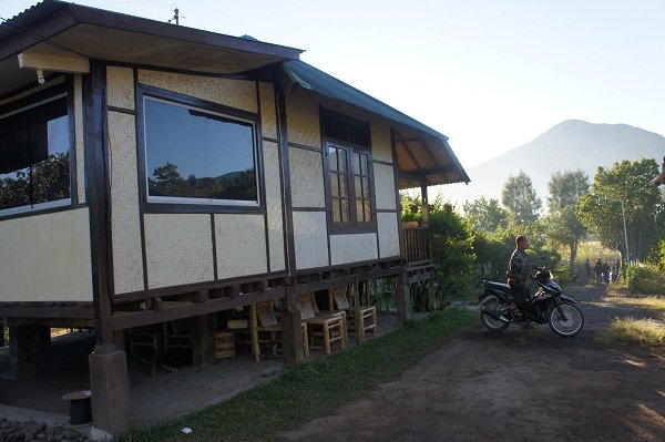
We woke up at around 6.30am. After washing up and packing, we proceeded to the hotel restaurant for breakfast. Our guide and porters had arrived very early and were waiting patiently for us outside the hotel gate.
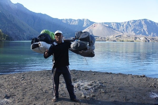
There were ten porters altogether, a ratio of almost two porters to one hiker. The original hiking package included only eight porters, but being typical “kiasu” Singaporeans, we requested two additional porters to act as reserves.
Each of us was allocated three litres of bottled drinking water daily, which would be distributed during mealtimes. At the start of the trek, we carried only about one litre each, knowing that it would be replenished at lunchtime. Apart from water, we carried our valuables, passports, phones, cameras, some warm clothing, medication, trekking poles and snacks. Our daypacks weighed about three to four kilograms each—a far cry from the 25-kilogram load carried by each porter.
Most of the porters moved off ahead of us, except for Abdul and two others, one of whom was Abdul’s younger brother. The advance party would prepare lunch and dinner and set up our campsites and tents while waiting for the “glampers” to arrive.
From our hotel, we could see the peak of Mount Rinjani. Initially, we thought our guide was joking when he pointed it out because it looked short and near. Later in my hiking experience, I came to realize that destination peaks may look very near and approachable, but the actual time and effort required are often far greater than their appearance suggests.
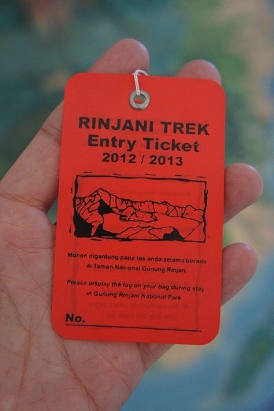
First, we walked to the Rinjani Information Centre, about 15 minutes away, to register for the climb. In the middle of the registration office was a large Plasticine model of Mount Rinjani showing the various climbing trails. Abdul used it to brief us on our route. He also explained the safety and rubbish-management procedures. We started the actual hike at about 8am.
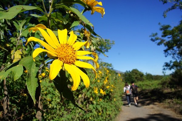
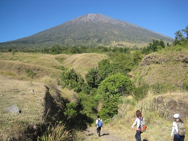
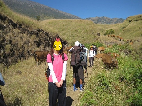
The first part of the trail passed through open grassland used by the locals for cattle grazing. Along the way, we saw a large herd of cows moving down the trail towards us. We had to stand at the edge to let them pass.
There was plenty of cow dung along the trail. Some had dried and hardened, while others were still fresh and mushy, with flies hovering around them. We actually spent more time looking down to avoid these landmines than looking up to enjoy the surrounding scenery.
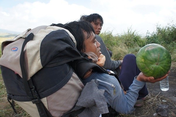
 We reached Pos 1 Pemantauan (about 1,300m) at around 10am and took a break beside a small shelter. Abdul’s brother pulled a watermelon from his backpack and cut it into slices with his pocketknife. After two hours of continuous hiking under the hot sun, we really appreciated the amazing cooling and thirst-quenching properties of watermelon.
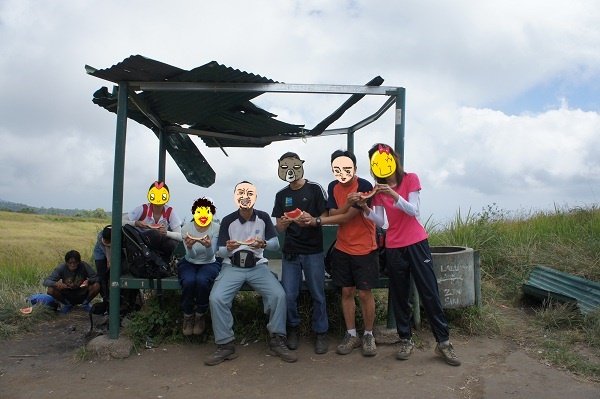
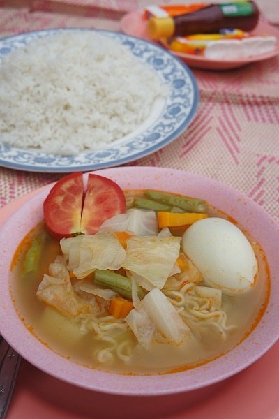
We reached Pos 2 Tengengean (about 1,500m) around noon. The area was already crowded with hikers and porters coming from the opposite direction. All of them were either having or preparing lunch. Our lunch area was on a platform of solidified lava further down from Pos 2. Lunch consisted of soup noodles, plain rice, bananas and pineapple.
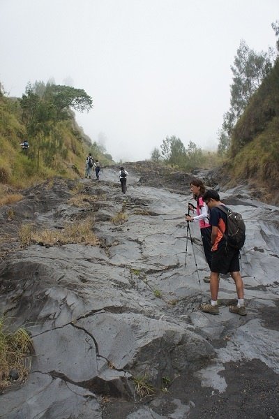
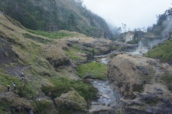
We continued the hike at around 1pm and reached the next checkpoint, Pada Balong (about 1,800m), around 2pm. After Pada Balong, it was steeply uphill all the way to Plawangan 2, or Crater Rim 2.
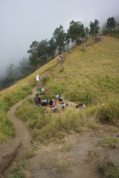
The three-and-a-half-hour trek from Pada Balong to the crater rim was the toughest stretch of the trail, if we exclude the final climb to the summit. There were the so-called “Seven Hills” along this stretch. In reality, it was one continuous uphill climb punctuated by six small flat areas that served as resting points.
It was like repetitive training: trek strenuously uphill for 20 to 30 minutes, rest for five to ten minutes, and repeat a similar cycle six times before reaching the crater rim. We finally reached Crater Rim 2 at around 5.30pm.
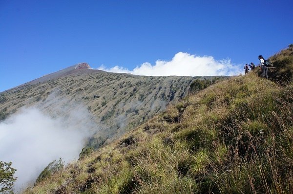
Crater Rim 2 is a narrow ridge along the edge of the crater. There is no direct access from Crater Rim 2 to Crater Rim 1, as some sections consist of treacherous cliffs and are not trekkable. One has to descend from Rim 2 to the lake below and then climb up by another route to Rim 1.
There was no proper camping ground at the rim. By the time we climbed up, it was already dotted with brightly coloured yellow and orange tents from one end to the other. Luckily, our advance party had arrived earlier and reserved a good site along the inner edge of the rim, with a direct view of the lake below. Otherwise, we might have had to camp on the outer edge, where the scenery was less impressive.
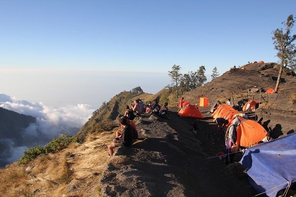
Our sleeping and kitchen tents were already fully set up when we reached the campsite. Dinner was nasi briyani with chicken and eggs—the porters had actually carried trays of eggs up the mountain. It was kind of romantic to have dinner by the edge of the rim while watching the sun set behind the mountains on the opposite side.
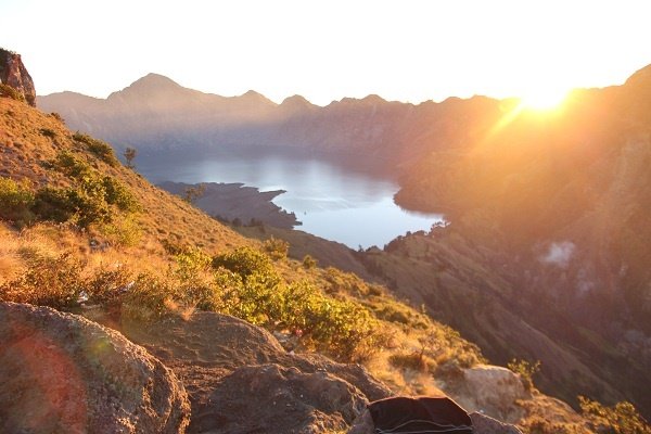
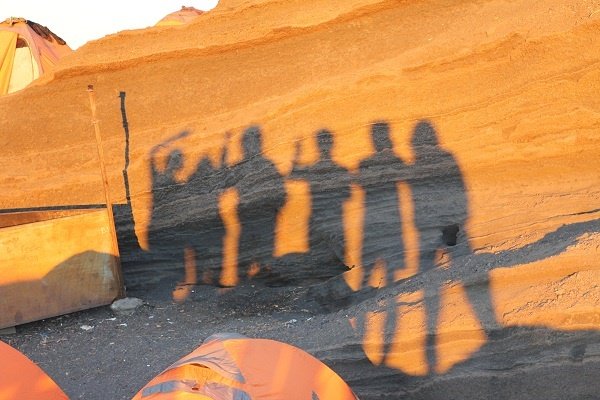
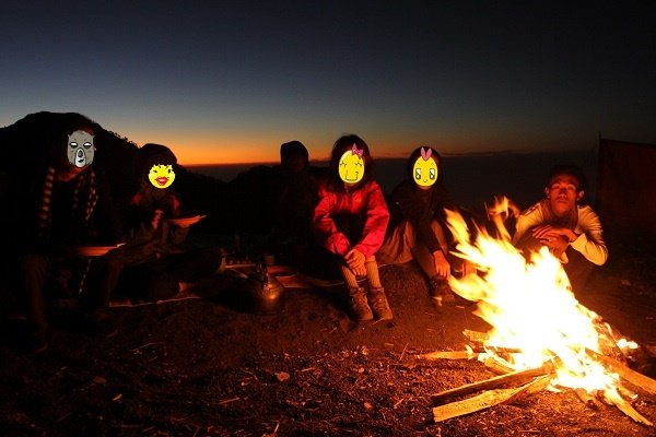
It started to get really cold after sunset. Abdul built a campfire to warm us up. As night fell, the views of the mountains and lake were replaced by the majestic sight of countless twinkling stars. We went to sleep early, at around 9pm, as we had to wake up at 2am the next day for the summit climb.
Day 3 – The Summit Attempt
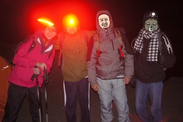
Four of us—HS, Jos, Chen and I—attempted the summit climb, while the other two, Lee and Chua, remained behind at the rim. We set off at around 2.30am.
To protect ourselves from the cold and wind, we put on three layers of clothing (long johns, a pullover and a windbreaker), as well as gloves. We had some toast and hot chocolate to build up a few calories before the climb.
In the pitch darkness, our vision was limited to the relatively small area illuminated by our headlamps. In the distance, the headlamps of climbing parties ahead of us formed a dotted line of light along the mountain slope. The scene looked like a religious pilgrimage up some holy mountain.
I knew the summit climb was going to be tough, but I expected to feel the real difficulty only during the final few hundred metres, where the terrain was extremely sandy and steep and the air much thinner.
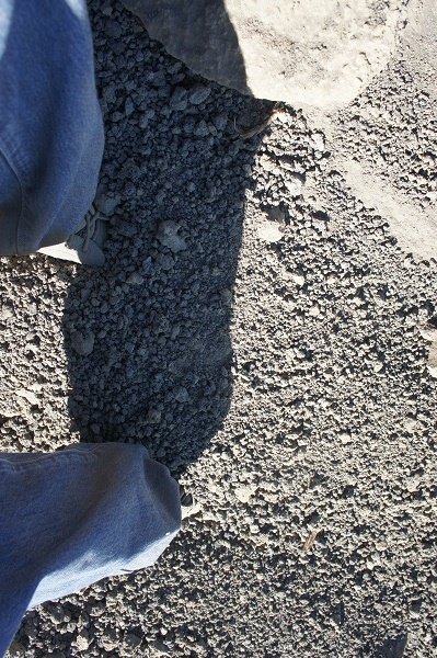
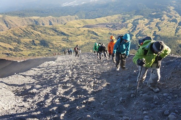
Unexpectedly, I started to feel overwhelmed by the terrain within an hour of beginning the climb. The ground was very loose and sandy. For every two steps I took, I would slide back one or two steps. Even with the help of my trekking pole, my forward progress was still very slow and marginal.
Several hiking groups behind me overtook me. I was exhausted and utterly demoralised by my slow progress. I almost gave up, if not for Chen and HS, who encouraged me all the way to the “first checkpoint”. I am not sure whether it was an official checkpoint, but from there the trail flattened out until the first viewpoint, just before the final few hundred metres of steep climbing to the summit.
Even now, I still do not know the root cause of my early physical exhaustion. Physically, I was actually quite well prepared. It could have been a combination of poor grip—my Vibram soles were quite worn out—a lack of quality sleep and being unaccustomed to climbing so early in the morning. Nevertheless, I was very glad that I made it to the first viewpoint at around 5.30am.
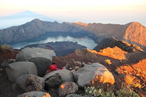
The trail between the “first checkpoint” and the first viewpoint followed a narrow ridge, with deep ravines on the right and a steep slope on the left, facing the direction of the climb. The ridge could be quite treacherous, as the edge of the trail was not easily discernible in the darkness.
Due to my physical exhaustion, I was walking like a zombie along the ridge—a very dangerous thing to do. It was only after daybreak, when I descended by the same route, that I could clearly see how treacherous the trail was.
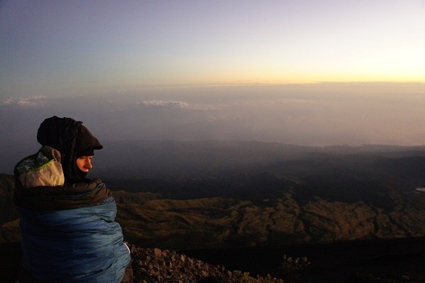
Chen and I stopped at the first viewpoint. Abdul stayed behind with us while HS and Jos carried on with the summit climb. It was very cold at the viewpoint, and we had to huddle behind some large boulders to shield ourselves from the wind.
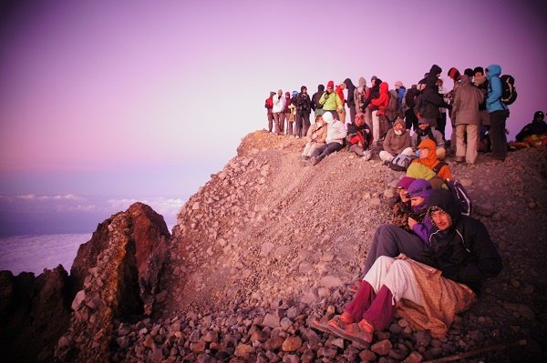
We waited for about 15 minutes for sunrise. As the sun rose over the horizon, the surrounding mountains, lake, crater rim and clouds beneath us slowly came into view. It was truly magical—a transformation from darkness into one of the most enchanting sights on earth.
We waited for the air to warm up slightly before turning back towards our campsite. Trekking down had its own challenges. The loose and soft volcanic soil caused us to sink ankle-deep into it. Unless you wore army boots or very high-cut shoes, plenty of sand, stones and small rocks would get into your shoes easily.
Some sections were also very slippery because of the shifting sand. You could easily slip and fall flat on your back if you were not careful. The Caucasian trekkers seemed to be better at going downhill than we were. Some could run or slide down the slope without falling over. They looked as though they were snow skiing on sand. We returned to the campsite at around 8am.
I did not reach the summit. However, for completeness, I shall recount Jos and HS’s summit-climb experiences here. Below is an extract from HS’s blog, Adventure Vacation Trip:
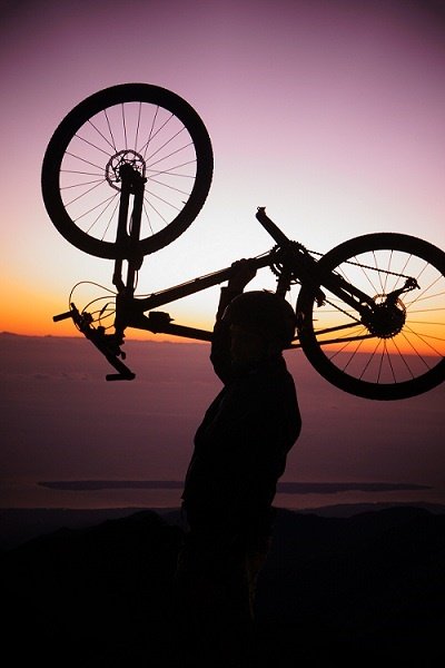
“Another two of us dropped out of the climb and Abdul stayed with them, not before giving his blessings to the two remaining stoics. So, with strained muscles, a numb face and a running nose, we pushed on. We moved at our individual pace. It’s just yourself and the mountain. Your mind tells you to give up and that there is no glory in climbing such a mountain. It’s not Everest. But your heart tells you to continue. As the debate goes on in your mind, you step closer to the summit. There was a sense of déjà vu. In some ways, the hike was similar to Mount Kinabalu. Yet, in other ways, the soft, deep sand that slides you back one step for every two steps you take makes it different. The last 300 metres were particularly tough. It was like walking on marshmallows inclined at 45 degrees. The diminishing oxygen supply ensured that you were constantly out of breath. What great fun, you might think. After what seemed like an hour—perhaps it really was an hour—I passed a narrow ridge and reached the very top of Indonesia’s second-tallest volcano, Mount Rinjani. Euphoria at 6am. The sun had not made its appearance yet.”
Interestingly, Jos was the last person to reach the summit that day. While struggling to conquer the final 100 metres, he saw the “last” man coming down from the summit. By right, that man was supposed to be the official last climber of the day.
Jos reached the summit at 7.30am. There was no one there to take a photograph for him, so he had to take one himself. The result was an oversized head against very little background.
Jos started his descent at 7.50am and returned to the campsite at around 11am, after almost nine hours of continuous trekking. I was really impressed by his perseverance and courage in reaching the summit and returning alone.
Day 4 – Segara Anak Lake
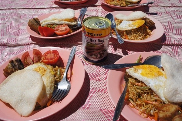
After a breakfast of pancakes, we retreated to our tents to catch up on some much-needed sleep. It wasn’t easy to fall asleep inside the warm tent, but we still managed to doze off here and there.
We woke up in time for lunch—dried noodles with eggs and Coke—before packing up for the descent to the lake. As we were getting ready, a group of long-tailed macaques appeared out of nowhere to feast on the food scraps scattered around the campsite. Some were even chewing on discarded plastic bags, which made me feel rather guilty for being a member of the human race.
Despite their fierce appearance, they were nowhere near as aggressive as their counterparts at MacRitchie Reservoir in Singapore. At least these fellows didn’t chase after us for food.
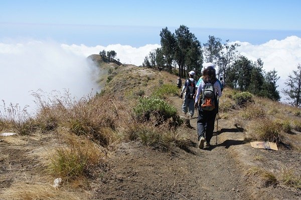
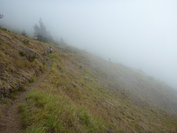
We set off at around 2pm and reached the lake at about 5.30pm. It was quite an easy trek because the ground was firm and not sandy like the summit trail.
However, this was the most disgusting part of the entire trail. There were human faeces and used toilet paper everywhere. As a blessing in disguise, the faeces, unlike the cow dung, were usually at least a few inches away from the edge of the trail, so the likelihood of stepping on them was not high. This was one area the park authorities did not manage well, especially since tissue paper is not readily biodegradable.
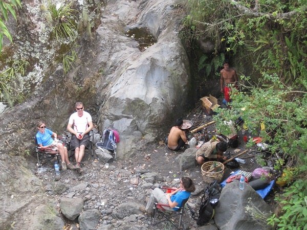
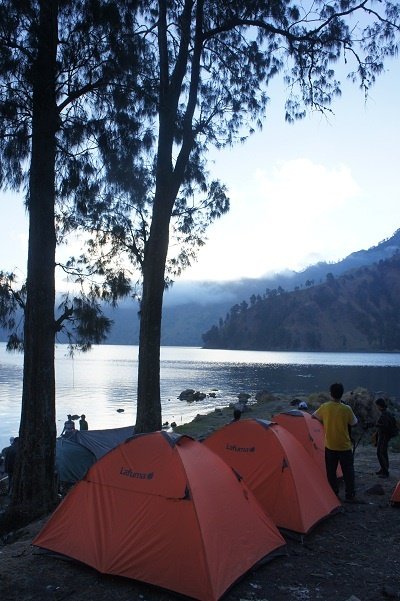
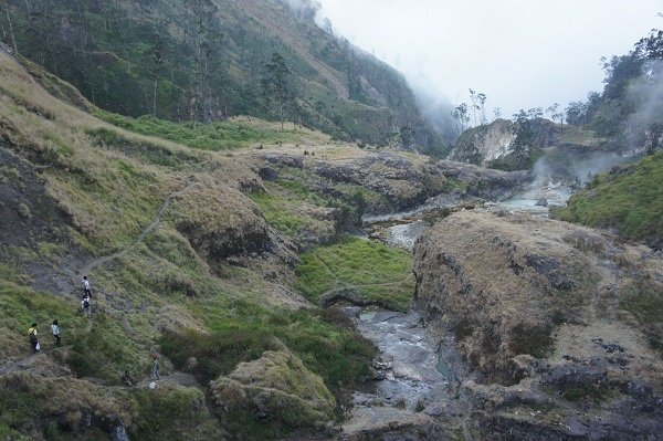
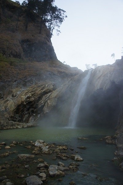
We set up our tents by the side of the lake. There was a hot spring nearby. We changed into our swimwear and put on a set of warm clothing as it was getting cold.
We then walked for about 15 minutes along a narrow path from our campsite to the hot spring. The hot spring, located around the plunge-pool area of a waterfall, was quite large and impressive. Furthermore, the area was fairly clean and not crowded, perhaps because we went there quite late.
Day 5 – Back to Civilisation
Today, we would be trekking out of the crater to Plawangan 1 (Crater Rim 1) and then all the way down to the Rinjani Trek Centre in Senaru.
We met two groups of Singaporean couples who were also camping by the lakeside. We took a group photograph together and exchanged contact details. Coincidentally, it was also Singapore’s National Day. One of the couples split the return journey from the lake to Senaru over two days by spending an additional night at Crater Rim 1.
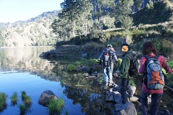
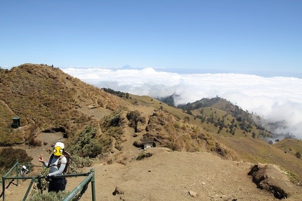
We set off at around 7.30am and reached the rim shortly before noon. At the rim, we once again found ourselves above the clouds. We took a short break before trekking down for slightly more than an hour to our lunch stop at Pos 3 (Mondokon Lola).
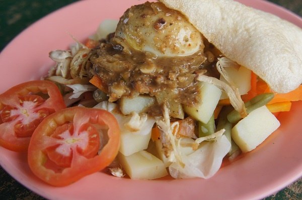
Our final meal of the trek was gado-gado with rice—an Indonesian salad consisting of boiled vegetables served with peanut sauce. Gado-gado was an easy and convenient dish for the cook to whip up, as he simply had to jumble together all the remaining vegetables and serve them.
We left Pos 3 at around 2.40pm and reached Pos 2 (Montong Satas) at about 4.10pm. Between Pos 2 and Pos 1 was another checkpoint called Pos Extra, which was not shown on most maps. We reached Pos Extra at around 4.50pm and Pos 1 at about 5.30pm.
From Pos 1, it was another 20-minute trek to the main entrance of the national park. But it was not the end yet. To reach our final destination, the Rinjani Trek Centre, we had to trek for another 50 minutes through a banana plantation. We reached the centre just before 6pm.
There was only one bathing room at the Rinjani Trek Centre, where we took turns washing up. We gave the porters their tips and took a group photograph with them.
We then boarded the agency’s bus for the two-hour-plus journey to Senggigi. We reached Senggigi at around 10pm and had a grilled seafood dinner at Restaurant Rembulan, located along Jalan Raya Senggigi. By the time we finished dinner and checked into our hotel, it was already 11.30pm.
Leave a Reply