Gunung Stong State Park (GSSP), also known as Jelawang Jungle, lies in central Kelantan. There are several peaks in the area, the most popular among climbers and hikers being Gunung Stong, Gunung Ayam and Gunung Baha. Another popular attraction is the seven-tiered Stong Waterfall, reputed to be the highest in Southeast Asia. Not far from GSSP lies a group of caves formed over 225 million years ago. Collectively known as the Dabong limestone caves, they have now become a staple part of the tourism packages offered by tour operators to GSSP.
Day 1
We took a sleeper train to Dabong, Kelantan. The train was scheduled to depart Singapore at 7 pm and reach Dabong the next day at 6:18 am. The train departed on time but reached Dabong at around 9 am. It is the norm for KTM trains to be delayed, especially on longer journeys.
The Dabong train station and nearby food stalls were crowded with hikers. Most of them were Malaysians and had probably taken the same train as us. Our guide was supposed to meet us at the train station, but there was no sign of him. We wandered around, looking lost and hoping that our guide would notice us. After 15 minutes, a guy claiming to be from the tour agency we had engaged approached us. He told us that all the available guides were already booked, but he would try to place us with another guided group. He instructed us to have breakfast at one of the food stalls while he made arrangements for us. We waited for another 30 minutes before a young, handsome chap by the name of Yo approached us and introduced himself as our tour guide. Somehow, the tour agency had managed to find a guide just for our group. (Later, we were informed that all the tour guides operating in Gunung Stong State Park belonged to the same tour guide cooperative, even though they might work for different tour agencies.) After some discussion about the itinerary, followed by more waiting, we finally set off on our trek. By then, it was already 11 am.
Below is our trek itinerary, which was only firmed up an hour before the trek:
Day 1: Explore the limestone caves in the vicinity of Dabong.
Day 2: Climb Gunung Baha, Gunung Stong and Gunung Ayam. (Due to time constraints, we did not attempt Gunung Ayam.)
Day 3: Explore Stong Waterfall.
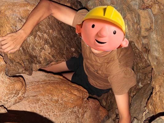
There are many limestone caves in the vicinity of Dabong. Among the popular ones are Gua Gelap (Dark Cave), Gua Kris (Kris Cave—kris is a Malay word for sword), Gua Pagar (Fence Cave) and Gua Ikan (Fish Cave). We visited all the caves except Gua Ikan, which had been badly vandalised with graffiti. I would say that Gua Gelap, which is on average less than an arm’s length wide, is the most interesting cave. Due to its narrowness, we had to manoeuvre through it in single file. Halfway through the cave, there is a small opening just above ground level where we had to lie flat on our backs and squeeze through. Many bats hang from the cave ceilings. One of the most interesting inhabitants of the cave is the whip scorpion, which looks like a hybrid between a scorpion and a spider (photo and discussion).
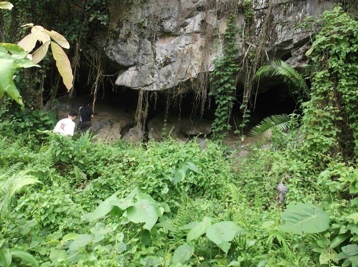
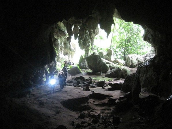
After our cave exploration, we returned to the train station for a late lunch, followed by a two-hour trek to our campsite—Baha Camp. Baha Camp is located at the top of the main fall of the seven-tiered Stong Waterfall. The main fall, with a drop of 270 metres, is one of the tallest in Peninsular Malaysia. The other tiers of the waterfall, with less impressive drops, are located above Baha Camp. To reach the camp, we had to cross the river and scale steep inclines of between 60 and 90 degrees.
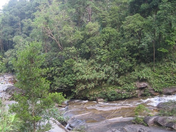
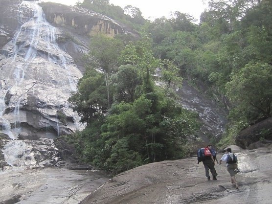
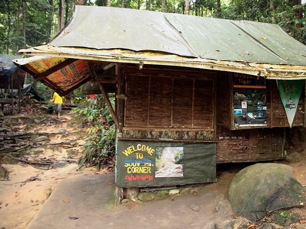
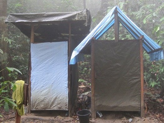
Baha Camp has two camping grounds, one on each side of the river. Together, they can accommodate between 150 and 200 people at one time. There are also a few wooden huts that serve as the sleeping quarters and kitchen of the mountain guides. There is a small shop that sells sweets and snacks, but not meals or drinking water. A small hut built over a hole dug into the ground serves as the camp toilet. There is no water tap or flushing system in the toilet. Users have to bring in their own water, scooped from the river, for washing and flushing away their waste.
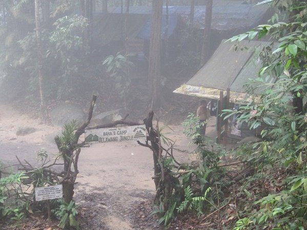
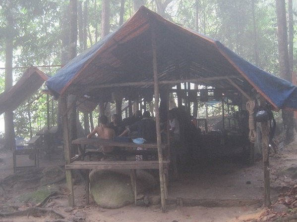
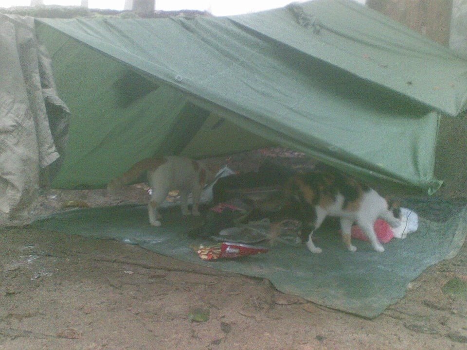
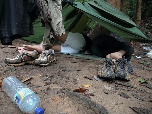
We set up our improvised tents using groundsheets, ponchos, army arc-of-fire sticks (basically just stakes that act as tent pegs) and nylon strings. Our tents were flimsy and exposed to the elements. When it started to drizzle on the first night, we discreetly shifted our stuff to the mountain guides’ kitchen, hoping to sleep under shelter on the kitchen benches. Unfortunately, this move was discovered by one of the mountain guides, who told us to return to our tents.
Day 2
We woke up the next day feeling cold and wet. We suffered from backaches after a night of sleeping on rocks and roots. We set off for the peaks at around 9 am. Due to the late start, we only managed to climb Gunung Baha and Gunung Stong. Each of us carried a day’s worth of food and three litres of water. We left our remaining belongings in the tents.
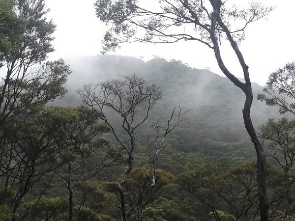
We trekked for several hours in heavy rain to reach the summit of Gunung Baha. Our trekking shoes were completely drenched by muddy water gushing down the trail. Our North Face and Columbia trekking shoes turned into pairs of wet, muddy and bulky “walking sponges”. Sand and small stones were also trapped inside our shoes. In contrast, Yo wore an inexpensive pair of water shoes—the kind worn for kayaking—which seemed perfectly comfortable, whether wet or dry. We soon learnt that these branded trekking shoes were unsuitable for rainforest terrain after all.
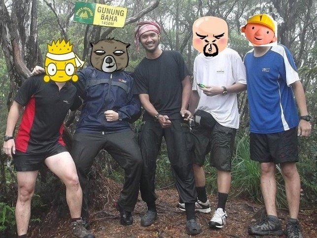
We reached the summit of Gunung Baha at around noon. We took a 30-minute break for lunch before pushing on towards the summit of Gunung Stong.

Gunung Stong State Park is home to elephants, tigers, bears, gibbons, hornbills and other animals. We saw a lot of elephant dung along the trail, but there was no sign of the elephants themselves. Throughout the three days and two nights, we saw only one hornbill and some monkeys.
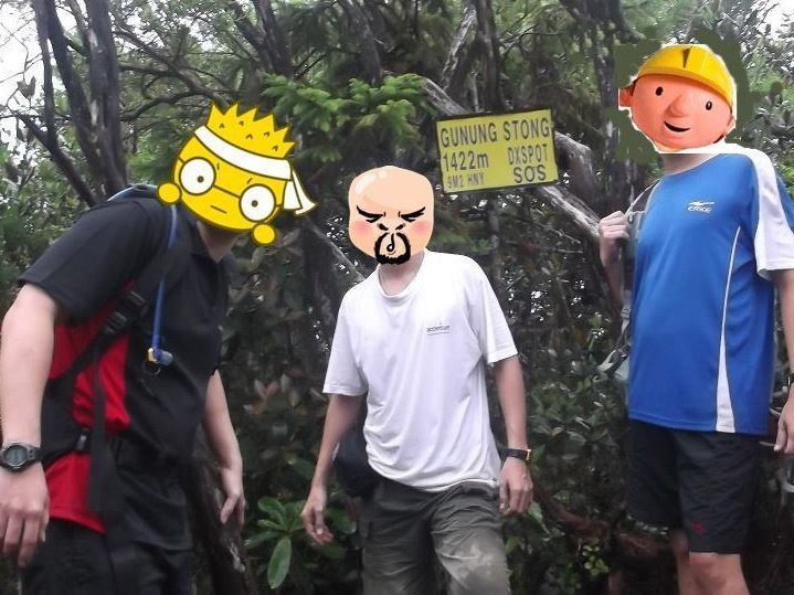
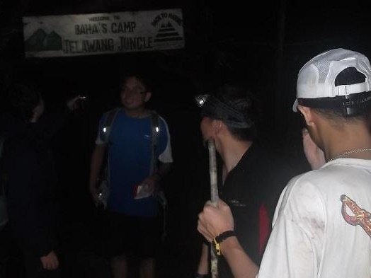
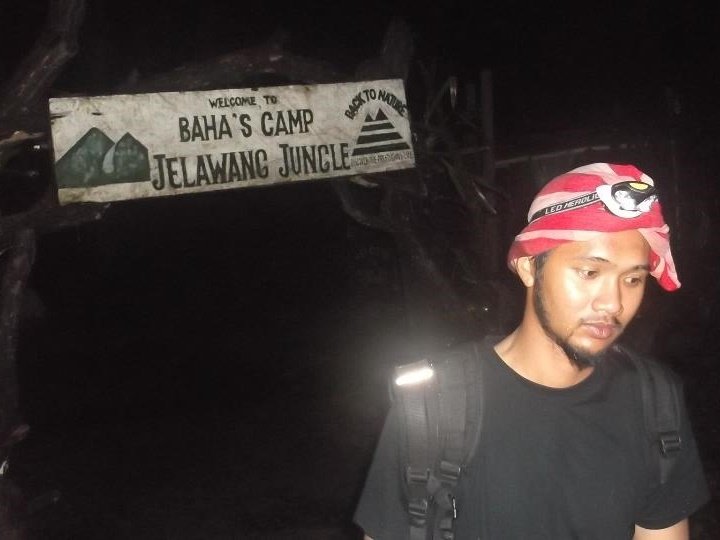
After another four hours of trekking, we finally reached the summit of Gunung Stong at around 5 pm. We took out our headlamps to prepare for the night trek back to base camp. Not long after we left the summit of Gunung Stong, it started to rain heavily again. Before we were even halfway back to base camp, we had finished all our food. We were also running low on water and had to replenish our supply from streams. It was a tough trek back. One of our mates was almost swept down a waterfall while crossing a river. He lost his footing on a boulder and fell into the rushing water. Luckily, Yo pulled him out in time. After almost five hours of trekking from the summit of Gunung Stong, we finally arrived back at base camp at around 11:30 pm.
Day 3

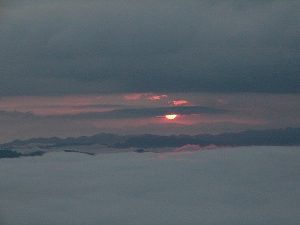
In the morning, thick fog floated in the air below the top of the waterfall. This sea of clouds, together with the sunrise, created the most spectacular view in Gunung Stong State Park. Everyone in our group, except me, woke up early to catch this view. I, on the other hand, imagined this beautiful scene in my dreams.
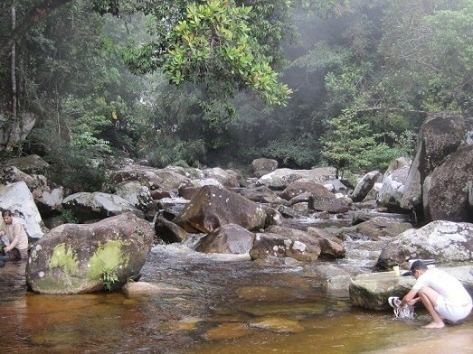
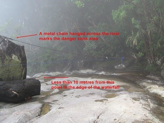
For the third day, we had the option of either climbing Gunung Ayam (an eight-hour return trek) or exploring the seven-tiered Gunung Stong Waterfall (a four-hour return trek). We were unanimous in our decision—the not-so-“siong” waterfall. We started the hike from Baha Camp, crossing the river over some boulders to the opposite bank. As mentioned previously, Baha Camp is located at the top of the main fall of the seven-tiered Stong Waterfall. The other tiers, with less impressive drops, are located above Baha Camp. Our mission for the day was to hike to the uppermost tier of Stong Waterfall, above which is the so-called “Y-junction”, where the Stong and Ayam rivers converge. At the river crossing, we encountered the first upper tier above Baha Camp, where fun-seekers slide from the top of the fall into the plunge pool below.
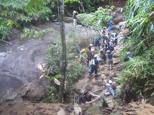
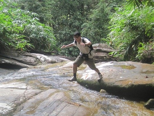
Beyond the first upper tier, the river widens into a series of mini-cascading falls flowing over undulating granite slabs. The river between the tiers was quite shallow. Half the time, we hiked along dry sections of the riverbed or leapt from one raised boulder to another. Occasionally, when there was no dry landing, we had to step into the water to move forward. However, to surmount the tiers, we had to hike uphill through the forest beside the river.
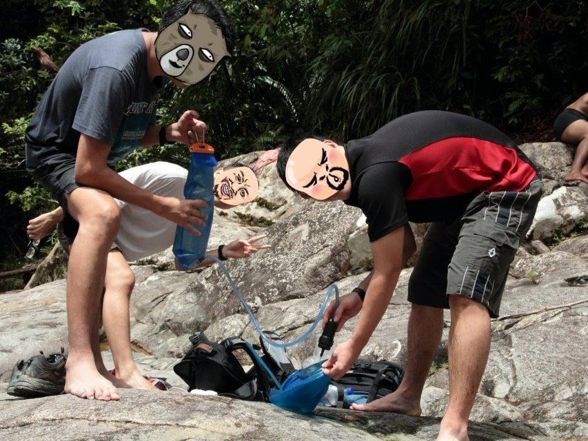
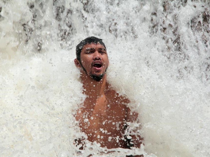
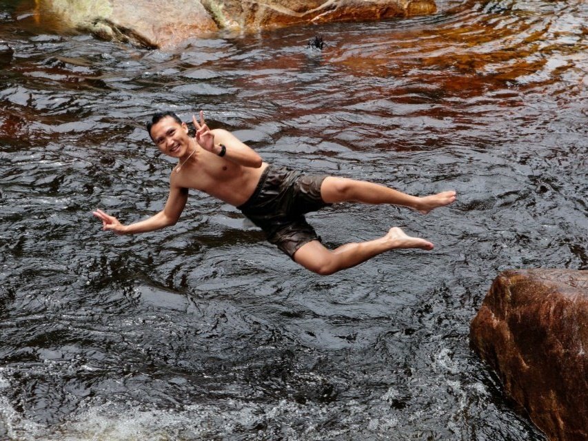
Along the way, there were some interesting waterfall formations, such as Kolam Tuan Puteri (Princess Pool) and Telaga Tujuh (Seven Wells), which were steeped in local legends. At the last two tiers, there were also pools one to two metres deep where we could swim or dive into the water from the rocky platforms beside them. We also tried some water massage by sitting beneath the falls and allowing the water to pound our backs and shoulders—a natural jacuzzi. It was a refreshing day for us after two gruelling days of trekking in the mountains.
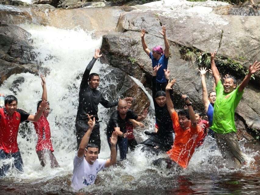
We arrived back at Baha Camp at around noon. We had underestimated our food needs and had only a few chocolate bars left for lunch. Luckily, our neighbours donated some of their excess food to us. Otherwise, we would have had to endure hunger until we returned to Dabong, which was at least a two-hour trek away. We left the camp at around 3 pm and reached Dabong at around 5 pm. We had dinner at one of the food stalls in Dabong. After three days of eating instant noodles, energy bars and biscuits, we rewarded our stomachs by ordering two main dishes each—fried rice and soup noodles. Alas, after dinner, we felt guilty for putting back the calories that we had worked so hard to burn off earlier.
We sat around the dining table, chatting and reminiscing about the interesting moments of the past few days while waiting for our train to arrive at 11 pm. We spent the night on board the train and arrived in Singapore at around 6 am the next day.
Leave a Reply