St John’s Island, previously known as Pulau Sakijang Bendera, is one of the southern islands of Singapore. It is located approximately 6.5 km south of mainland Singapore.
Sir Stamford Raffles, the founder of modern Singapore, actually anchored off this island before arriving in Singapore in 1819. From the late 19th century until World War II, the island was used as a quarantine station for victims of infectious diseases such as cholera, beri-beri and leprosy. By 1930, the island had gained international recognition as a quarantine centre for screening Asian immigrants and pilgrims returning from Mecca. After the era of mass migration, the island was used to house detained political prisoners and ringleaders of secret societies. Later, a drug rehabilitation centre was also established on the island. In 1975, the island was transformed into a tranquil getaway with beaches, swimming lagoons, picnic grounds, BBQ pits and trekking routes. There were also chalets and dormitories available for public rental.

St John’s Island is a small island. There is only one jetty for visitors entering and leaving the island. We reached the island at around 10-plus in the morning. The queue on the left was for departing visitors. Looking at their fishing rods and backpacks, they must have spent the night fishing or camping on the island.
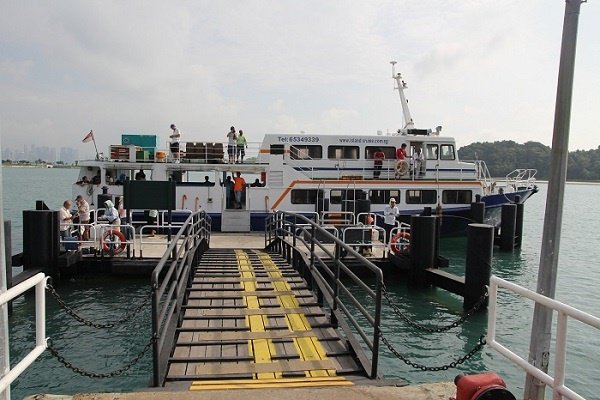
The above photo shows the typical ferry that brings visitors to St John’s Island.
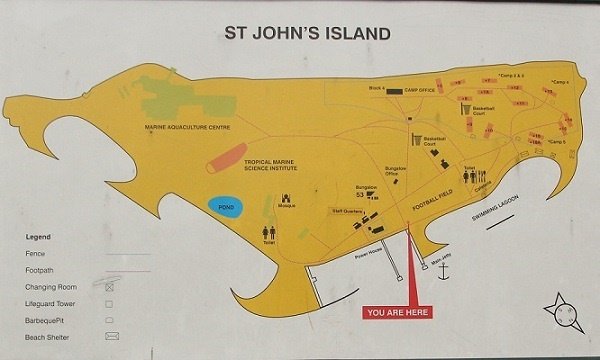
The island has very limited tourist infrastructure. There is no bicycle or kayak rental booth, cafeteria or even a vending machine. The map showed a cafeteria, but I did not think anyone had taken up the tender to operate it. There were, however, one or two water coolers beside the toilets. There were only two public toilets on the whole island. There were also dormitories and bungalows equipped with basic cooking facilities for those who wished to spend a few nights on the island.

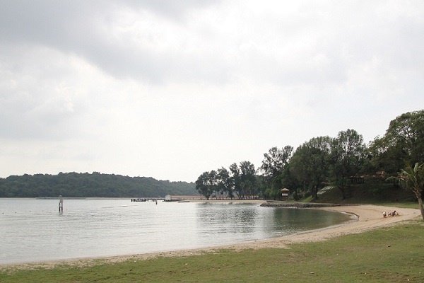
The swimming lagoon was quite nice and idyllic, although the beach itself was rather narrow. It was also very sparsely occupied. I only saw a few Caucasian visitors sunbathing on the beach. Is it better to have a small beach almost to yourself, or to squeeze in with hundreds of other beachgoers?
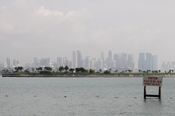
The water currents around the islands can be quite strong. There is a man-made lagoon near the jetty where visitors can swim more safely. From the lagoon, you can also see the skyline of Singapore’s Central Business District on the mainland.
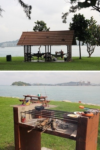
There are many shelters with benches and BBQ pits around the island. I could not find any online information on booking the BBQ pits at St John’s Island. We visited the island on a Sunday, and most of the pits were not in use. I presumed that anyone could simply use the pits without making a booking. The island was quiet enough that I could hardly imagine park staff chasing after people for a BBQ pit permit.
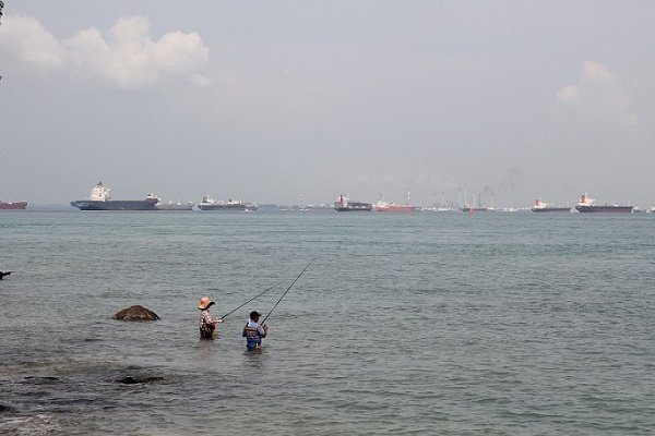
The island is also very popular with anglers. By my estimation, easily more than one-third of the visitors were there for fishing. I used to be an avid angler myself, and judging from the turnout and the size of some of the fish caught, this must have been one of the better fishing spots around Singapore. One overnight camper told us that he had seen a group of dolphins frolicking in the water close to shore.
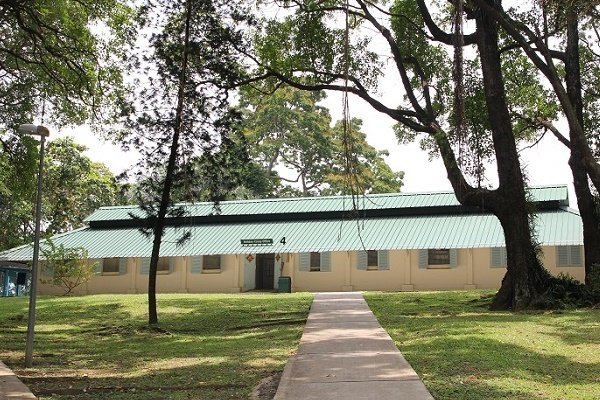
On the western side of the island were the dormitories of the Holiday Camps. There were four Holiday Camps in this area: Holiday Camps #2, #3, #4 and #5. The largest, Holiday Camp #5, could accommodate up to 60 people. The Holiday Camps were meant mainly for organised groups such as secondary school camps. The above photo shows the administrative office of the Holiday Camps. For family groups, there were Holiday Bungalows on the northern side of the island. Each bungalow was furnished with a kitchen and could accommodate up to 10 people.
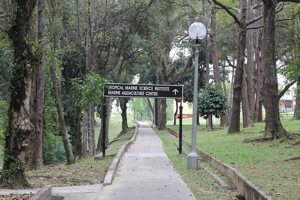
The Tropical Marine Science Institute (TMSI) had two research facilities in Singapore. One was located at the main campus of the National University of Singapore at Kent Ridge, while the other was on St John’s Island. TMSI had research interests in oceanography, marine biology, marine mammals, biofuels, water resources and climate change, among other areas.
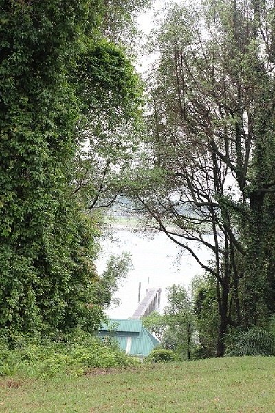
St John’s Island is also known in Mandarin as Qi Zhang Shan, or Mount Qi Zhang. The island is quite hilly, with only small stretches of beach and relatively steep shorelines. The highest point on the island, which is only slightly more than 50 m high, can be reached via a short paved path. The view from the top is mostly obstructed by the surrounding trees. There are also two large water towers near the summit that serve as part of the island’s water supply.
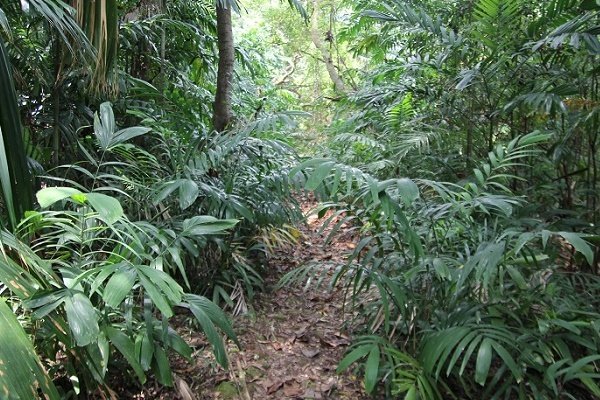
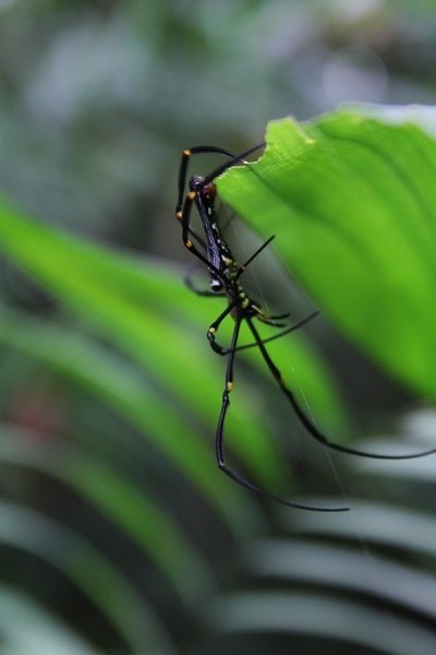


St John’s Island is about 40 hectares in size, excluding the adjoining Lazarus Island. You can explore most of the island within about two hours. We explored some of the quieter walkways and dirt trails and stumbled upon an isolated residential-looking compound with several old single-storey buildings. Around the compound, we saw a colony of cats and a peacock, which ran off before we could photograph it. We then ventured to the south-western side of the island, where some mangrove vegetation could be found.

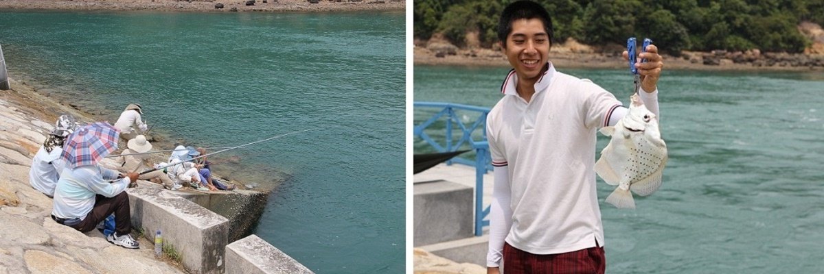
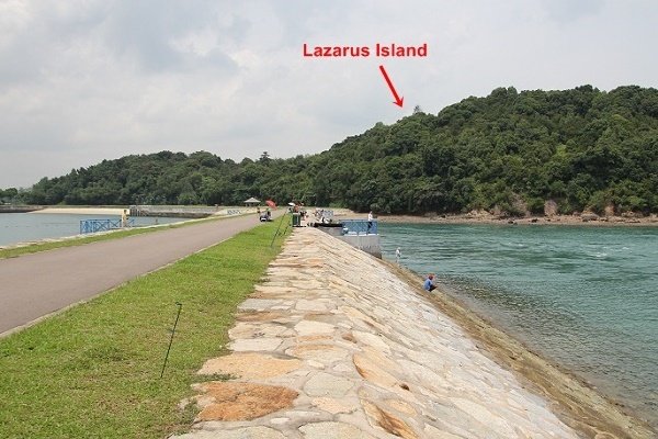
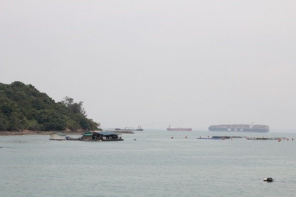
St John’s Island is linked to Lazarus Island by a roughly 200 m causeway. The causeway is also a favourite spot for anglers. There were future plans by the Singapore Tourism Board to develop the southern islands, including Sisters’ Islands, Kusu Island, Lazarus Island and St John’s Island, into larger tourist attractions.

How to Get There
There are daily ferry services to St John’s Island. The ferries are operated by Singapore Island Cruise and depart from Marina South Pier.
At the time of our visit, there were two services from Monday to Friday, three services on Saturday, and four services on Sundays and public holidays. Return tickets cost S$15 per adult and S$12 for children under 12.
Note: On the way to St John’s Island, the ferry would stop at Kusu Island first to drop off and pick up passengers. The same applied to the return journey. This meant that for one ferry fare, you could effectively visit two islands. However, it was important to plan your trip carefully according to the ferry schedule; otherwise, you might not have enough time to properly enjoy both islands.
Direction to Marina South Pier
- MRT
Alight at Marina Bay MRT Station (NS27), use Exit A, then take SBS Transit Bus Service 402 from the bus stop outside the station to Marina South Pier.
- Bus
Take SBS Transit Bus Service 402, a loop service running from Shenton Way Terminal to the International Cruise Terminal and Marina South Pier.
Miscellaneous
During our trip to St John’s Island, we captured footage of a wasp carrying a caterpillar back to its nest. The caterpillar was almost as big as the wasp itself. The nest was located behind a bench in one of the shelters.
Leave a Reply